Apart from posting their hiking or camping pictures or stories, this group regularly plan and organise hiking and camping trips which is open to anybody and everybody. Most of them (especially hiking trips) are free of charge, meaning people who are interested to join need only to show up at the meeting point and then they go hiking together. These trips are usually joined by experienced hikers and people who'd been there and done that previously so you would be rest-assured of your journey and hopefully safety. As I said, this group organises hiking and camping trips regularly from time to time and I had the opportunity to join one to climb Gunung Ulu Semangkok in the border of Selangor and Pahang near Fraser's Hill recently.

The drive from KL to Fraser's Hill takes about 2 hours using the PLUS highway and the Kuala Kubu Bahru route. My wife and I however took the Bentong - Fraser's Hill route because we had to leave the kids at their aunt's place there. From Bentong to Gap (that's what the place called) took slightly over an hour and all met at the agreed meeting point next to an abandoned hotel called Rumah Rehat Gap.

The place is easy enough to find, using Waze or Google Map or any other favourite GPS app. If you have none of those, you can find the abandoned hotel just before the junction up to Fraser's Hill (from KL). It's a really prominent and big black and white building and you can't miss it from the road. A few meters from the junction, there's a rest area where you can find a restroom which is also you last chance for a proper toilet before the hike.

Final head count, there were 19 of us joining the hike. After a short briefing by our lead and founder of HACAM, MK Rahman, we started our hike at around 9:00 am. The starting location of the hike and also the foot of the hill is only a few meters from where we park as shown in this picture.

It rained quite heavily the day before so the jungle the we stepped into were quite wet and damp. The beginning of the hike was already challenging because we had to go through some thick undergrowth of trees and bamboo plants. That and the slippery when wet forest floor.

Although there were 19 of us, somewhere along the journey we got separated into three distinct group - the one in front, those in the middle and lastly the bunch at the back along with sweeper MK Rahman. Linda and I hiked mostly with those in the middle although sometimes it was just the two of us walking alone in the jungle.

This particular hike was very educational because for the first time I learnt how to spot and follow these route markers. A piece of plastic rope tied around a tree or branch. This little marker shows that you're on the right track. They appear about 200 to 300 meters apart so whenever you go astray or feels like getting lost you know you had to find these little markers.

Sometimes you can find these little pipes jutting out from the ground which also another kind of route marker for you to follow. Unlike the plastic rope, this one is few and not always present.

Before reaching Gunung Ulu Semangkok, you had to pass and climb Gunung Gap first which is around 1183 meters high. Despite the height, this first hill is surprisingly easy enough to climb and most of all reached the peak after only 30-40 minutes of hiking.

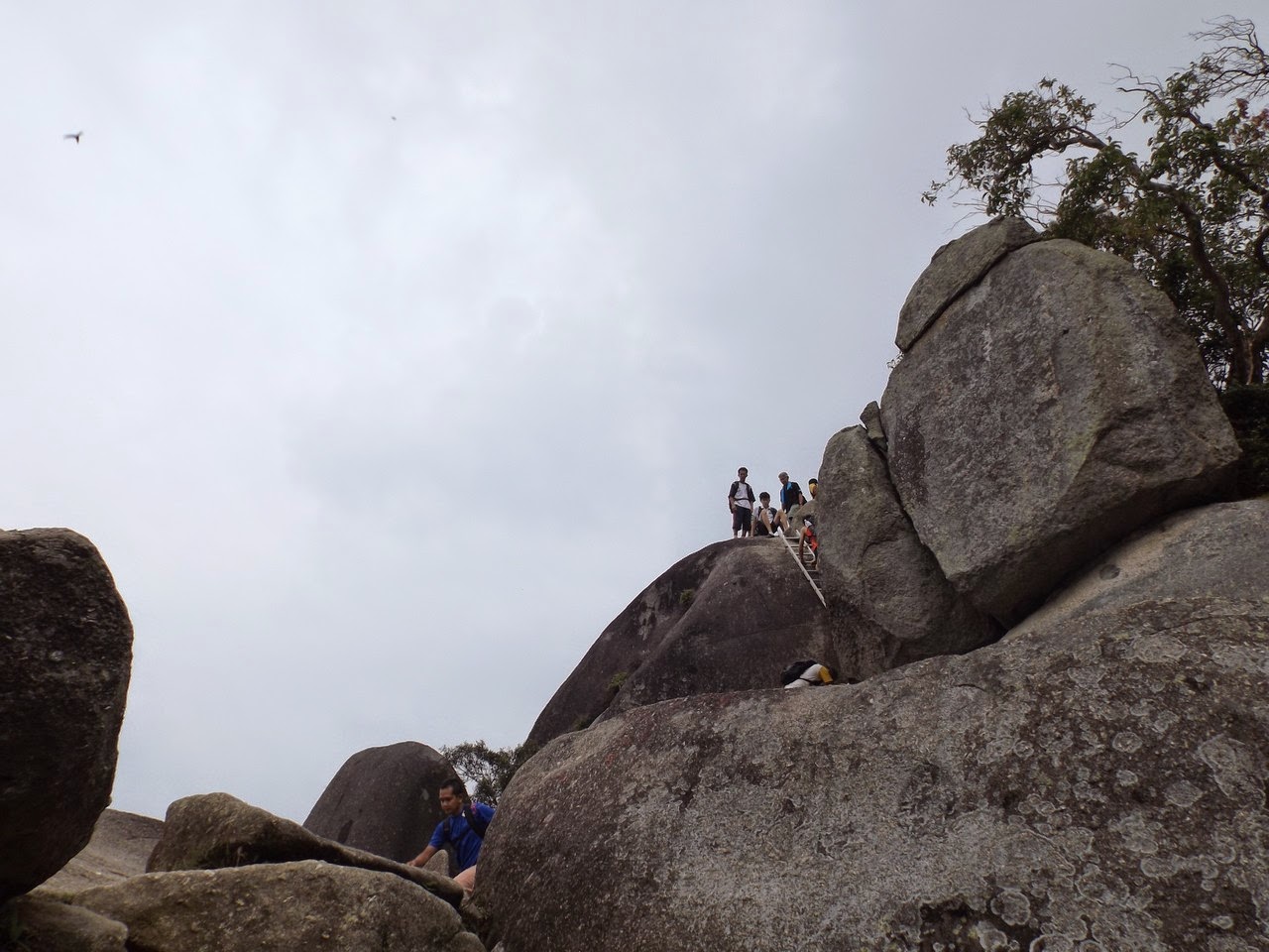
It's after Gunung Gap that the route became more challenging. We had to climb down the hill and up and down again several times before reaching the summit of Gunung Ulu Semangkok. This later part of the hike took us around 2 hours plus to finish.

Gunung Ulu Semangkok, within the Selangor border is 1394 meters tall. I would consider this one moderately easy, a little tougher than Datuk but definitely easier than Nuang.

Team photo of the expedition members. Most of them are experienced hikers including the girls.

MK Rahman, organiser, lead and founder of Hiking and camping around Malaysia Facebook group.

The view at the peak of Gunung Ulu Semangkok was not exactly breath-taking and far from spectacular. It was surrounded but thick bushes and a lot of trees and there's hardly anything scenic to see around you unlike say Broga, Datuk or Bukit Kutu. If you came for the view, you may be disappointed with Gunung Ulu Semangkok. Maybe that's the reason this hill is not as popular or crowded as other hills.

That said, Ulu Semangkok is still a pleasure to climb and you get to see many interesting flora and fauna of the jungle like these little crawlers on the floor.


Near the peak you can find this interesting and pretty mini moss garden. Not as beautiful and abundant like in Gunung Irau but still nice to see.

On the way back Linda and I separated from the 3 groups again and this time almost got lost when we strayed from the right path right about here. Thankfully I noticed the absence of those plastic rope markers and quickly turned back to where we came from. Those little ropes literally saved our lives. Well at least it stopped us from getting lost for a few hours in the jungle.

This time also we came truly prepared with our drinks, food and stuff. As a general rule if the hill is over 1,000 meters bring at least three 500ml bottles of water. Two for anything lower than that and of course some food to replenish your energy. Some isotonic water would be nice as well.

This is some of the better view that we saw along the hike. Apart from that it's all trees everywhere.

I got myself a new hiking shoes and wore it for the first time for this expedition. Unfortunately for me, I did the calamitous mistake of buying a shoe one size too small. I thought they fitted me nicely at the store but I found out that size 9 is definitely too small for me to go on hiking when I usually wear size 10. When I go downhill, my feet hurts quite bad especially my toes because there were very limited space at the end of my shoes. In spite of the suffering, I marched ahead for the remaining 1 hour of my journey. Back at Gunung Gap I was really close to discarding my shoes for the spare flip flops that I brought in my bag but decided not to. So remember folks, when buying hiking shoes get one that fits you perfectly or even one size bigger. Your feet will thank you very much later.

After about 5 hours of hiking, we finally made it safe and sound to the starting point. I made a lot of new friends after this hiking trip, 17 new ones to be exact. That is what hiking is about, exploring new places, scaling new heights and making new friends. Look forward to joining many more hiking trips with MK Rahman and his buddies from the group in the future.